Mychione y jalloo-scoan shoh
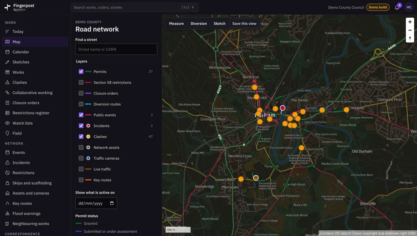
All the layers sit on one Ordnance Survey map of the road network. A date field shows what will be active on a given day, and the buttons above the map measure a distance, draw a diversion or a sketch, and save the view.
Fingerpost: Highway authorities run street works permits, clash checks and road closure orders on one map of their road network. Lhaih shiu cre ta Fingerpost jannoo.
- Troar
- Fingerpost
- Scáileán
- 2 jeh 5
- Towshanyn
- 1460 × 828
- Coad
- WebP, 102 KB