Skip to content

For emergencies, call +44 7537 179434 and press 0.

Fingerpost screen 2 of 5

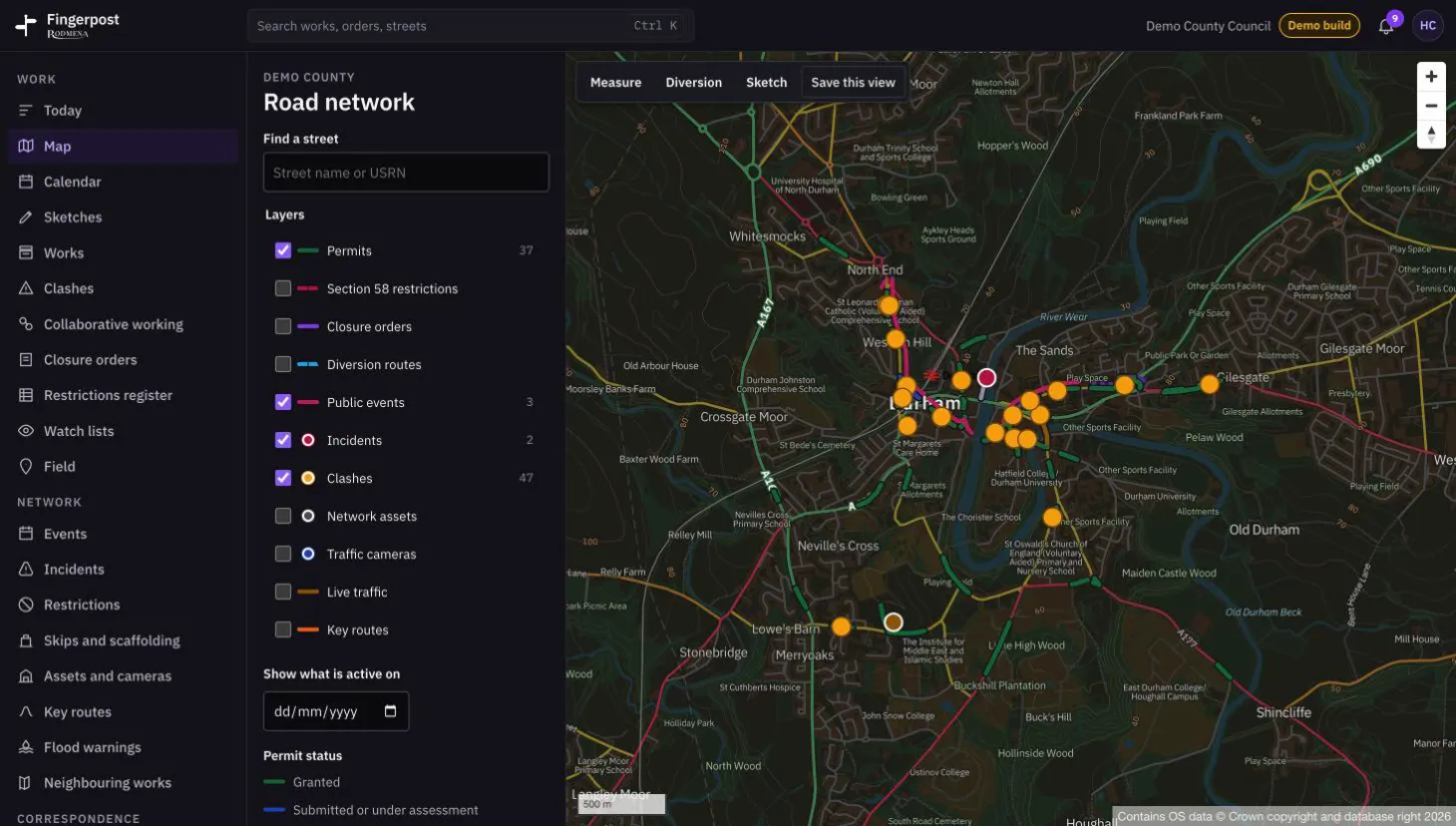
Road network map in Fingerpost

The Fingerpost map of a county's road network. A panel on the left finds a street by name or USRN. Its switches turn on and off the layers for permits, section 58 restrictions, closure orders, diversion routes, public events, incidents, clashes, network assets, traffic cameras, live traffic and key routes. On the map, permits are drawn along their streets in the colour of their status, and clashes show as orange markers.

About this screenshot

All the layers sit on one Ordnance Survey map of the road network. A date field shows what will be active on a given day, and the buttons above the map measure a distance, draw a diversion or a sketch, and save the view.

Fingerpost: highway authorities run street works permits, clash checks and road closure orders on one map of their road network. Read what Fingerpost does.

Product
Fingerpost
Screen
2 of 5
Dimensions
1460 × 828
File
WebP, 102 KB
Download image