इस स्क्रीनशॉट के बारे में
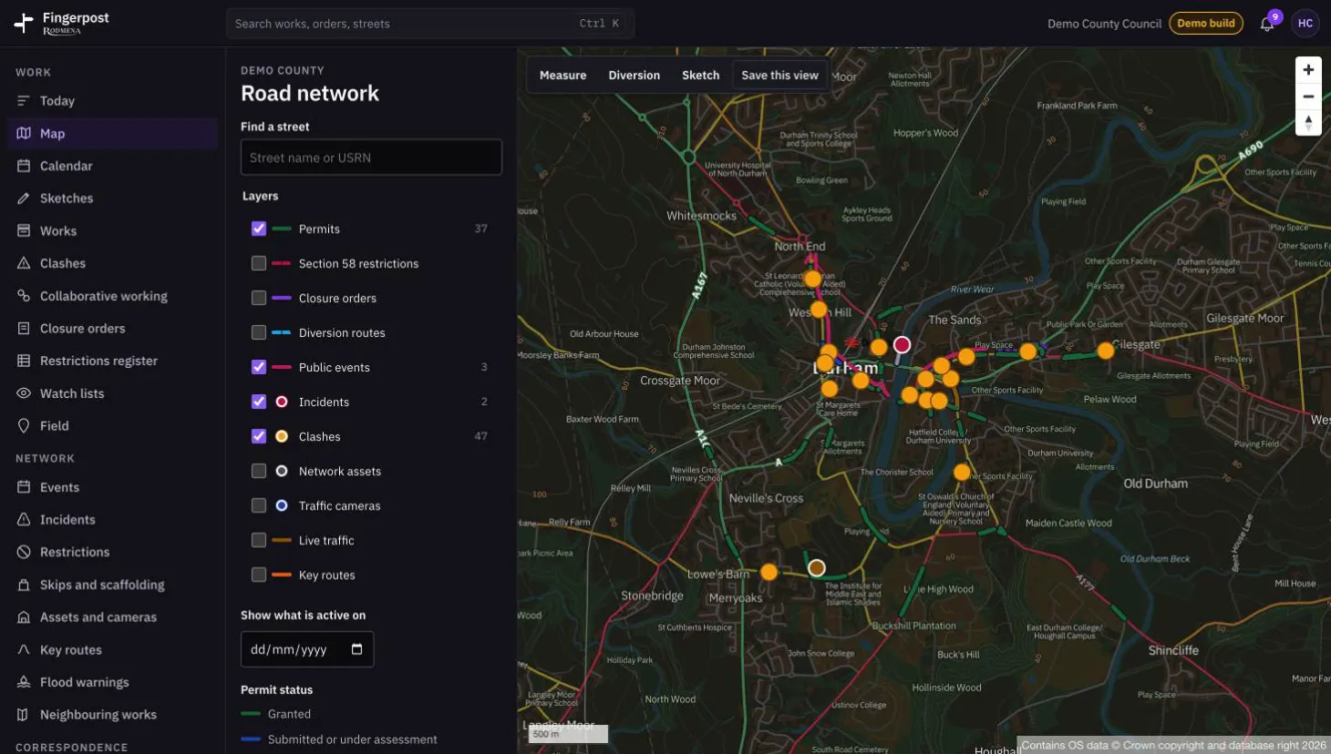
All the layers sit on one Ordnance Survey map of the road network. A date field shows what will be active on a given day, and the buttons above the map measure a distance, draw a diversion or a sketch, and save the view.
Fingerpost: Highway authorities run street works permits, clash checks and road closure orders on one map of their road network. पढ़ें कि Fingerpost क्या करता है।
- उत्पाद
- Fingerpost
- स्क्रीन
- 5 में से 2
- आयाम
- 1460 × 828
- फ़ाइल
- WebP, 102 KB