A-dro dhe'n skrinshot ma
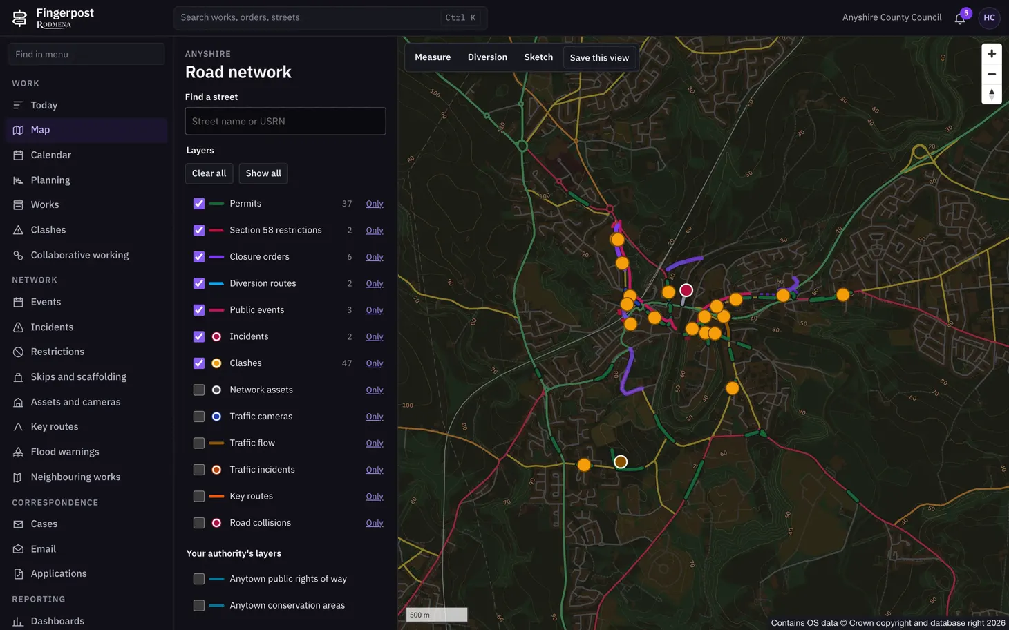
The layers are drawn over Ordnance Survey data. Any layer can be switched off or shown on its own. The buttons above the map measure a distance, draw a diversion or a sketch, and save the current view.
Fingerpost: Highway authorities run street works permits, clash checks and road closure orders on one map of their road network. Gwrewgh redya pandr'a wra Fingerpost.
- Askoren
- Fingerpost
- Skrin
- 1 a 5
- Mynsow
- 1460 × 912
- Restren
- WebP, 105 KB