跳至内容

For emergencies, call +44 7537 179434 and press 0.

Fingerpost 屏幕 1 / 5

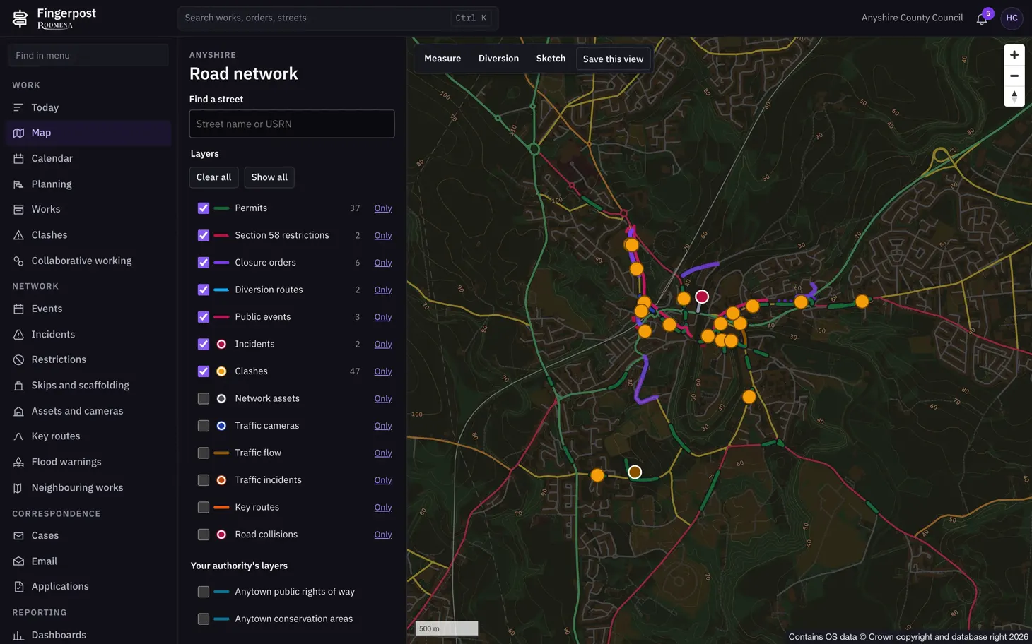
Fingerpost 中的 Road network map

The Fingerpost map of a council's road network. The panel on the left finds a street by name or USRN and lists thirteen layers. Permits (37), section 58 restrictions (2), closure orders (6), diversion routes (2), public events (3), incidents (2) and clashes (47) are switched on. Network assets, traffic cameras, traffic flow, traffic incidents, key routes and road collisions are off. Under the heading Your authority's layers are the council's own public rights of way and conservation areas. On the map, permits are drawn along their streets in green and closure orders in purple. Clashes show as orange markers.

关于此截图

The layers are drawn over Ordnance Survey data. Any layer can be switched off or shown on its own. The buttons above the map measure a distance, draw a diversion or a sketch, and save the current view.

Fingerpost:Highway authorities run street works permits, clash checks and road closure orders on one map of their road network. 阅读 Fingerpost 的功能。

产品
Fingerpost
屏幕
1 / 5
尺寸
1460 × 912
文件
WebP,105 KB
下载图片