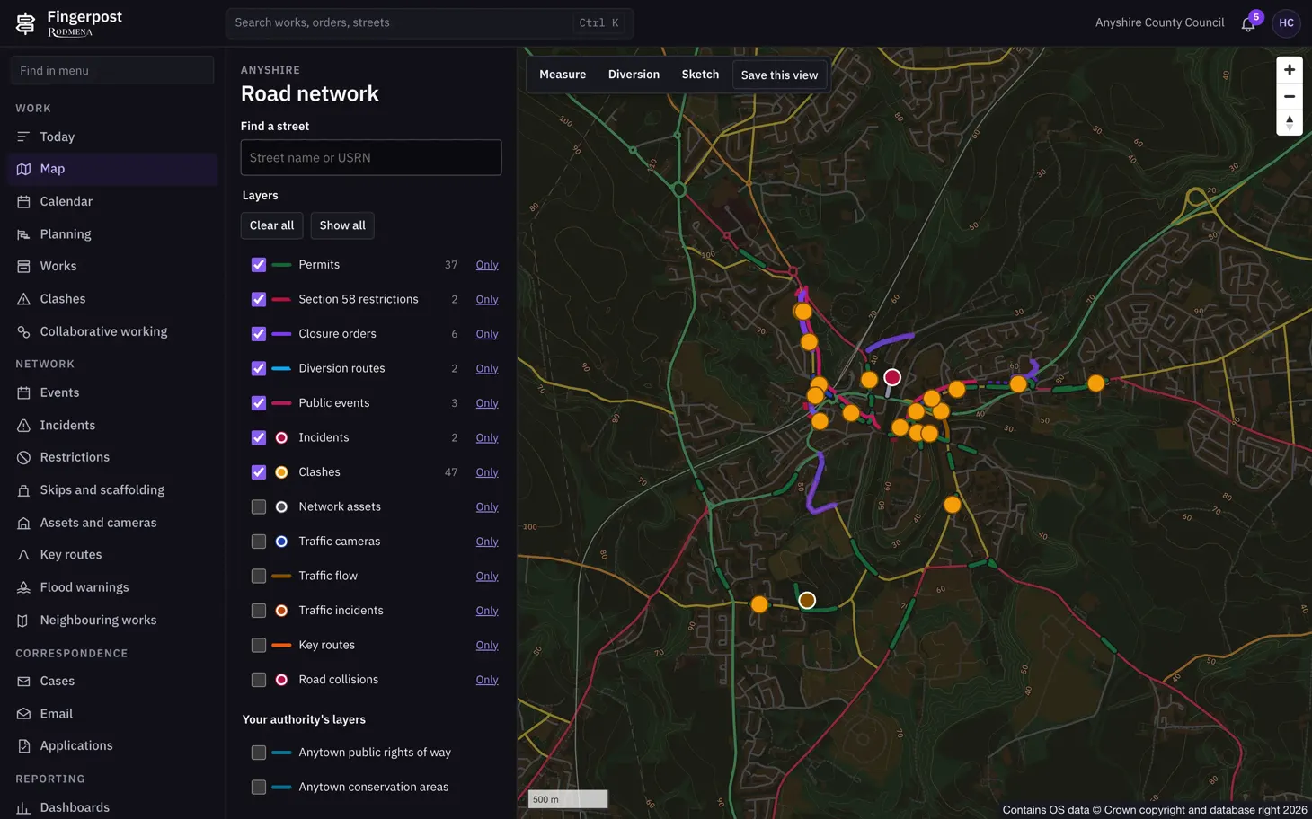
Acerca de esta captura de pantalla
The layers are drawn over Ordnance Survey data. Any layer can be switched off or shown on its own. The buttons above the map measure a distance, draw a diversion or a sketch, and save the current view.
Fingerpost: Highway authorities run street works permits, clash checks and road closure orders on one map of their road network. Lea lo que hace Fingerpost.
- Producto
- Fingerpost
- Pantalla
- 1 de 5
- Dimensiones
- 1460 × 912
- Archivo
- WebP, 105 KB