Aller au contenu

For emergencies, call +44 7537 179434 and press 0.

Écran 4 sur 5 de Fingerpost

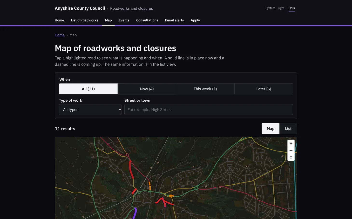
Public roadworks map dans Fingerpost

The council's public roadworks site, which Fingerpost publishes under the council's name. Its map page filters the 11 roadworks and closures by when they happen (4 now, 1 this week and 6 later), by type of work, and by street or town. The affected roads are highlighted on the map. The text above it tells residents that a solid line is in place now and a dashed line is coming up.

À propos de cette capture d’écran

Residents can tap a highlighted road to see what is happening there and when, or switch to the list. The site also has pages for events, consultations, email alerts and applications. Visitors can pick a light or dark theme or follow their system setting.

Fingerpost : Highway authorities run street works permits, clash checks and road closure orders on one map of their road network. Découvrez ce que fait Fingerpost.

Produit
Fingerpost
Écran
4 sur 5
Dimensions
1460 × 912
Fichier
WebP, 56 Ko
Télécharger l’image